National Consultation on GIS Mapping of Health Facilities and Services in India
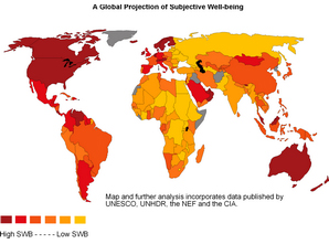
Geographic Information System (GIS) is an information system for capturing, storing, analyzing, managing and presenting spatially referenced data (linked to location). Several initiatives are presently underway across India to undertake GIS mapping in the health sector. However, information regarding these GIS initiatives remains largely fragmented and unavailable at a single point. The Ministry of Health & Family Welfare and the World Health Organization Country Office for India, has taken a major initiative to review the current status of health GIS in India and identify resources for developing health GIS infrastructure and mapping facilities. A two-day National Consultation on GIS Mapping of Health Facilities and Services in India was held between 3st August-1st September, 2009 in New Delhi.
National Consultation on GIS Report(PDF)


post_id:
uld_count:
Cookie not set
Value 1: 0
Value 2: 10


